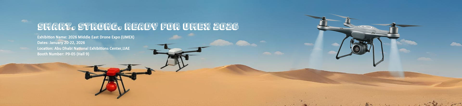
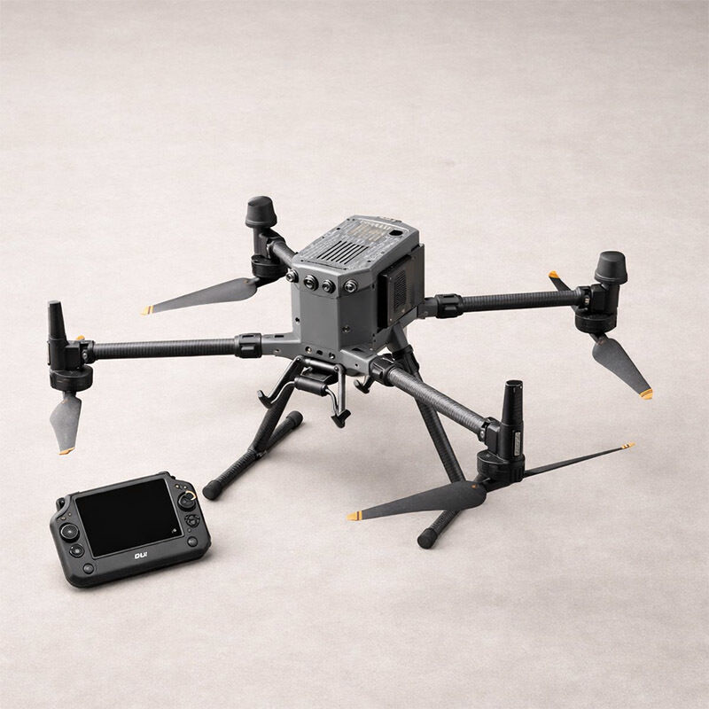
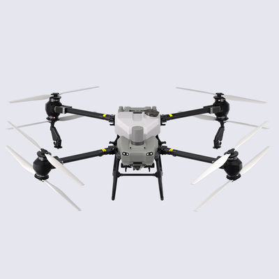
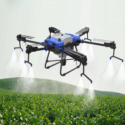
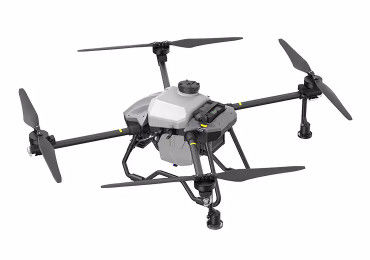
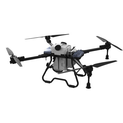
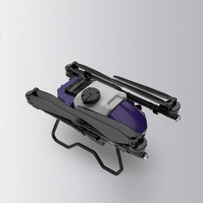
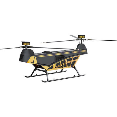
The ZAi-M350 is a next-generation industrial drone platform engineered for high-performance aerial operations in complex environments. Built for reliability, precision, and adaptability, it integrates advanced RTK positioning, extended flight endurance, and multi-payload compatibility to support demanding professional missions.
Designed with a robust airframe and intelligent flight systems, the ZAi-M350 ensures stable performance even in harsh weather conditions. Its enhanced transmission system delivers long-range, low-latency control, making it ideal for critical applications such as infrastructure inspection, public safety, mapping, and industrial asset management.
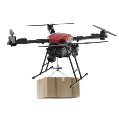
With a modular payload system and upgraded safety architecture, this platform empowers operators to capture accurate data, improve operational efficiency, and reduce mission risk.
Key Features
- High-Precision RTK Positioning
Achieve centimeter-level accuracy for mapping, surveying, and inspection workflows.
- Extended Flight Time
Optimized power system supports longer missions, reducing downtime and increasing productivity.
- Multi-Payload Compatibility
Supports a wide range of cameras and sensors for diverse industry applications.
- Advanced Transmission System
Stable, long-distance communication with strong anti-interference capability.
- Enhanced Safety & Redundancy
Multiple backup systems ensure safe operation in critical scenarios.
- Rugged Industrial Design
Weather-resistant structure suitable for challenging environments.
Specifications
| Item |
Specification |
| Model |
ZAi-M350 |
| Aircraft Type |
Industrial Multi-Rotor Drone |
| Max Flight Time |
Up to 55 minutes (no payload, optimal conditions) |
| Max Payload Capacity |
Approx. 2.7 kg |
| Positioning System |
GNSS + RTK (GPS, GLONASS, BeiDou, Galileo) |
| Max Transmission Distance |
Up to 20 km (unobstructed, interference-free) |
| Operating Temperature |
-20°C to 50°C |
| Wind Resistance |
Up to 12 m/s |
| Protection Rating |
IP55 |
| Max Speed |
23 m/s |
| Hover Accuracy (RTK Enabled) |
±1 cm + 1 ppm (horizontal) |
| Battery Type |
Intelligent dual-battery system |
| Charging Time |
Approx. 60 minutes (depending on charger) |
In The Box
- ZAi-M350 Aircraft *1
- Remote Controller *1
- Intelligent Flight Batteries (Pair) *1
- Charging Hub *1
- Propellers (Pairs) *2–4
- RTK Module *1
- Carrying Case *1
- Cables & Accessories *1 set
- User Manual & Quick Start Guide *1
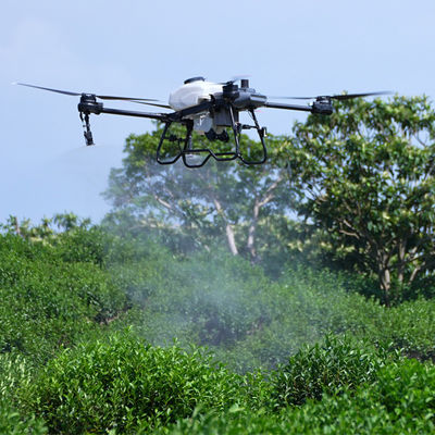
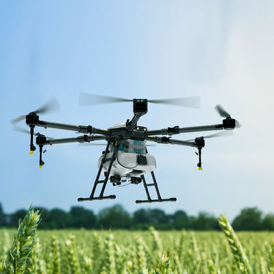
Applications
The ZAi-M350 is designed to support a wide range of professional use cases:
- Infrastructure Inspection (power lines, bridges, pipelines)
- Surveying & Mapping
- Public Safety & Emergency Response
- Energy & Utilities Management
- Environmental Monitoring
- Construction & Site Progress Tracking
Why Choose ZAi-M350
The ZAi-M350 combines precision engineering with operational flexibility, making it a dependable solution for enterprise-level drone operations. Whether deployed in routine inspections or mission-critical scenarios, it delivers consistent performance, accurate data capture, and enhanced safety for professional teams.
FAQs
What kind of users is the ZAi-M350 designed for?
The ZAi-M350 is built for professional teams who rely on accurate aerial data and stable flight performance. It’s commonly used by operators in surveying, inspection, emergency response, and industrial maintenance where reliability matters more than convenience.
How accurate is the RTK positioning in real-world use?
With RTK enabled and a stable signal source, the system delivers centimeter-level positioning. In practice, this means more consistent mapping results and fewer ground control points required during survey missions.
Can the drone handle demanding weather conditions?
Yes, the ZAi-M350 is designed with a weather-resistant structure and can operate in light rain, dust, and temperature extremes. That said, operators should still assess conditions carefully before flight, especially in strong winds or heavy precipitation.
What types of payloads can be mounted on this platform?
The platform supports a range of payloads including high-resolution cameras, thermal sensors, LiDAR systems, and multi-sensor modules. Its flexibility allows users to adapt the drone for different missions without changing the aircraft.
How long can it stay in the air during typical operations?
Flight time depends on payload and environmental conditions, but in most real-world scenarios, users can expect around 35–45 minutes per mission. Lighter payloads and optimal conditions will extend this duration.
Is it suitable for mapping and surveying projects?
Absolutely. With RTK integration and stable hovering accuracy, the ZAi-M350 is well-suited for mapping workflows, offering precise data capture and efficient area coverage.
What makes this platform reliable for critical missions?
The system includes multiple layers of redundancy, from dual-battery design to advanced flight control systems. These features help maintain stability and safety even if one component encounters an issue.
How steep is the learning curve for new operators?
Operators with prior experience in industrial drones will find the transition smooth. The interface and flight logic are designed to be intuitive, while still offering advanced controls for more complex operations.
What kind of maintenance does the drone require?
Routine checks—such as inspecting propellers, cleaning sensors, and monitoring battery health—are usually sufficient. Regular firmware updates and calibration also help keep the system performing at its best.
Can it be integrated into existing workflows or software systems?
Yes, the ZAi-M350 is designed to fit into professional workflows. It supports data integration with common mapping, inspection, and asset management platforms, making it easier to incorporate into ongoing operations.